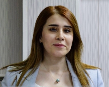
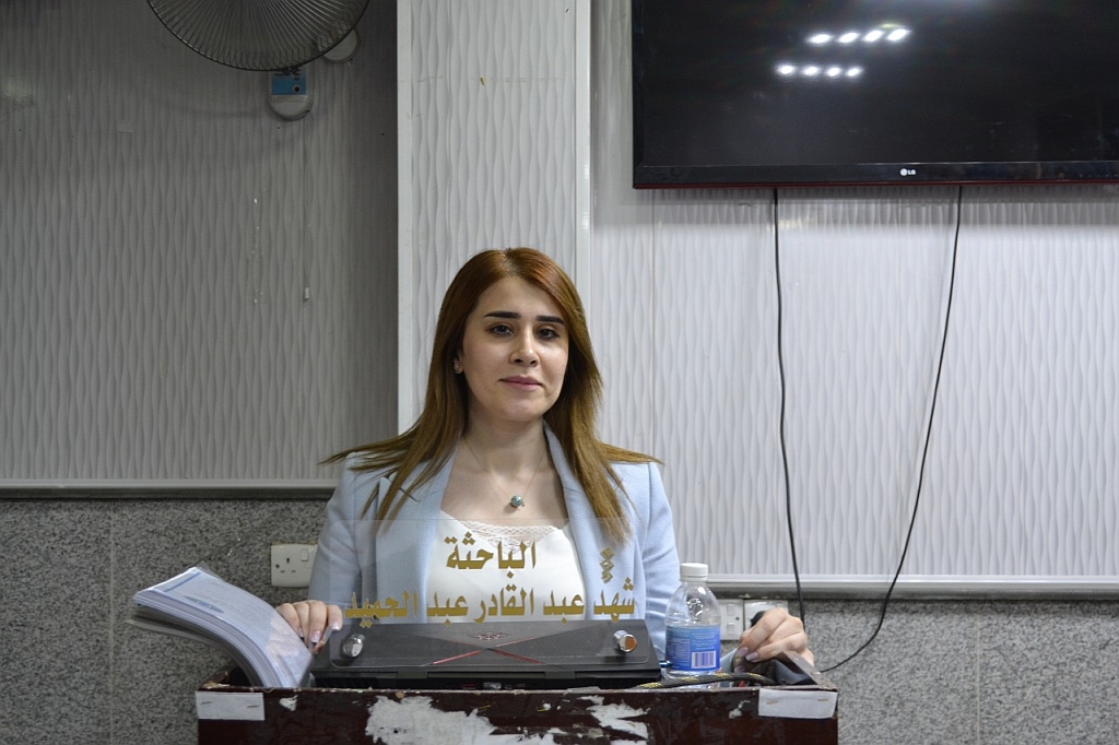
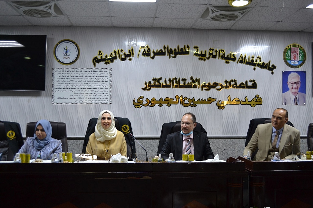
ناقش قسم الفيزياء في كلية التربية للعلوم الصرفة (ابن الهيثم) رسالة الماجستير الموسومة (دراسة تأثير التمدد الملحي لشط العرب على غطاء الأرض لبعض مناطق محافظة البصرة باستخدام بيانات الإستشعار عن بعد ونظم المعلومات الجغرافية) للطالبة (شهد عبد القادر عبد الحميد) التي انجزتها باشراف التدريسية في القسم (أ.م.د. امال جبار حاتم) ونوقشت من قبل أعضاء لجنة المناقشة المبينة أسمائهم فيما يأتي :

  • أ.د. حميد مجيد عبد الجبار (رئيسا)

  • أ.م.د. تغريد عبد الحميد ناجي (عضوا)

  • أ.م.د. محمد يوسف (عضوا)

  • أ.م.د. امال جبار حاتم (عضوا و مشرفا)

وتهدف الدراسة الى :

1- رصد وتقييم عدد الأملاح الناتجة عن تقدم اللسان الملحي من الخليج العربي وشط العرب في كل من (التربة والمياه الجوفية) في منطقة الدراسة (دراسة ميدانية) والعوامل المتعلقة بالملوحة.

2- استيفاء قيم الأملاح الذائبة الكلية للسنوات (2000 و 2010 و 2015 و 2017 و 2020 لموسم الجفاف) التي لا توجد بيانات أو دراسات عنها في الوزارات ذات الصلة ، باستخدام طريقة ملائمة منحنى.

اجريت هذه الدراسة لتقييم تدهور المناطق المتاخمة لشط العرب والخليج العربي,وهي قضاء الفاو وناحية السيبة التابعة لمحافظة البصرة اقصى الجنوب الشرقي للعراق , حيث يتأثر سكان هذه المناطق بتقدم المياه البحرية المالحة نتيجة طاقات المد والجزر الى داخل هذه المناطق بسبب قلة واردات المياه العذبة الاتية من السدود وانقطاع نهر الكارون,مما ادى الى ارتفاع تراكيز الاملاح في شط العرب وبالتالي تأثيره على الاراضي المتاخمة له.ولكي يتم حساب تراكيز الاملاح الذائبة في هذه المناطق تطلب اخذ عينات عشوائية موزعة على منطقة الدراسة  من المياه الجوفية والتربة ,حيث بينت  النتائج المستحصلة من عينات المياه الجوفية على انها ذات ملوحة عالية جدا تراوحت ما بين (2880-10415)ملغم/لتر,وعند مقارنتها مع المحددات العراقية ومحددات منظمة الصحة العالمية وجد انها مرتفعة جدا لا تصلح للاستعمالات البشرية (كالشرب,والاستخدامات الصناعية ,مياه لري المزروعات).

اما بالنسبة لعينات التربة فكانت قيم مجموع الاملاح الذائبة تتراوح ما بين( 7380-13380) ملغم/لتر,وقد وجد ان العينات ذات ملوحة عالية جدا وخاصة في المناطق المحاذية للخليج العربي.

تم ايجاد قيم مجموع الاملاح الذائبة للسنوات(  2000,2017,2010,2015و2020 الموسم الجاف)                         

حيث وجد اعلى قيمة للملوحة كانت في عام 2010 حيث تراوحت قيم مجموع الاملاح الذائبة ما بين (  12843-14039 ) ملغم /لتر,وكذلك تم حساب قيم مجموع الاملاح الذائبة لعام2020 للموسم الجاف ومقارنتها مع الموسم الرطب حيث تبين من خلال المقارنة ان قيم مجموع الاملاح الذائبة للموسم الجاف هي الاعلى من الموسم الرطب. 

وخلصت الطالبة في نهاية رسالتها الى التوصيات الاتية :

  • دراسة الخواص الكيميائية والفيزيائية لتربة منطقة أبي الخصيب باستخدام تقنية الاستشعار عن بعد ونظم المعلومات الجغرافية.

  • دراسة الملوثات في منطقتي الفاو وأبي الخصيب الناتجة عن الحقول النفطية باستخدام تقنية الاستشعار عن بعد ونظم المعلومات الجغرافية.

  • دراسة لرصد المياه السطحية في قضاء الفاو وناحية السيبة باستخدام تقنيات الاستشعار عن بعد ونظم المعلومات الجغرافية.


Study the Effect of the salty expansion of the Shatt Al-Arab on the Land Cover of Some Areas of Basra Governorate, Using Remote Sensing Data and Geographic Information Systems

By Shahad  A.Al-Qadir

Supervised  by Assist. Prof. Dr. Amal Jabbar Hatem

Aim of the study: This study aims to

– Monitoring and evaluating the number of salts resulting from salt tongue progress from the Arab Gulf and Shatt al-Arab in both (soil and ground water) in the study area (field study) and factors related to salinity

-Interpolation the values of total dissolved salts for the years

(2000, 2010, 2015  ,2017, and 2020 for dry season) for which there are no dataor studies on them in the relevant ministries, Using the method curve fitting

The Abstract

This study was conducted to assess the deterioration of the areas adjacent to the Shatt Al-Arab and the Arabian Gulf, namely the Al-Fao district and the Al-Siba sub-district of the Basra Governorate in the far southeast of Iraq, as the inhabitants of these areas are affected by the advancement of salty marine waters as a result of the tidal energies into these areas due to the lack of freshwater imports from the dams and the Karun River was cut off, which led to an increase in salt concentrations in the Shatt al-Arab and thus its effect on the adjacent lands. To calculate the concentrations of dissolved salts in these areas, random samples were taken distributed over the study area from the groundwater and soil, as the results obtained from the groundwater samples were shown. However, it has an extremely high salinity, ranging between (2880-10415) mg/liter, and when compared with the Iraqi determinants and the World Health Organization determinants, it was found that it is too high and not suitable for human uses (such as drinking, industrial uses, and water for irrigation of crops)

As for the soil samples, the values ​​of total dissolved salts ranged between (7380- 13380) mg/liter and it was found that the samples have extremely high salinity, especially in the areas bordering the Arabian Gulf

The values ​​of total dissolved salts were found for the years (2000, 2017, 2010, 2015, and 2020 dry season)

Where the highest value of salinity was found in 2010, where the values ​​of total dissolved salts ranged between (12843-14039) mg/liter, as well as the values ​​of total dissolved salts for the year 2020 for the dry season, were calculated and compared with the wet season, where it was found through comparison that the values ​​of total dissolved salts the dry season is higher than the wet season

Future Project

Study the chemical and physical properties of the soil of the Abi AlKhasib district, using remote sensing technology and geographic information systems

Study of pollutants in Al-Fao and Abi Al-Khasib district resulting from oil fields using remote sensing technology and geographic information systems

A study of monitoring surface waters in Al-Faw district and Al-Siba sub-district, using remote sensing techniques and geographic information systems

IhcoeduAuthor posts

Avatar for ihcoedu

كلية التربية للعلوم الصرفة (ابن الهيثم) College of Education for Pure Science (Ibn Al-Haitham)

Comments are disabled.